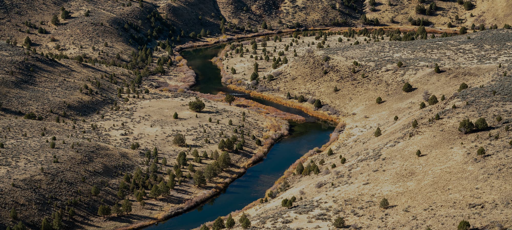
To many, the outdoors is home. Hunters, anglers, and others alike rely on the land and water for what it can provide. Whether you’re seasoned in the field or starting out, stepping outside offers a connection to something bigger. But what if you don’t know where to step?
Sitting down with Joel Webster of the Theodore Roosevelt Conservation Partnership (TRCP) was important for addressing and bringing clarity to the confusion surrounding access to public lands and waters. The outdoors are for all, and TRCP’s Modernizing Access to our Public (MAP) initiatives have a mission: accessibility for all, opportunity for all.
Meet Joel From The Theodore Roosevelt Conservation Partnership
For more than two decades, Joel Webster has been working alongside hunters, anglers, and wildlife professionals to conserve the places that make time outdoors possible.
At the Theodore Roosevelt Conservation Partnership, he operates at the intersection of policy and access—working with partners, policymakers, and the sporting community to advance conservation across public and private lands, waters, and fisheries. Since 2007, Joel has helped shape federal and state policy on everything from wildlife migration corridors to forest management, energy development, and public access.
He’s also played a key role in efforts like the MAP initiatives—projects built on a simple idea: if opportunity exists on the landscape, people should be able to find it, understand it, and access it.
Joel’s work extends to the national level, serving on the federal Hunting and Wildlife Conservation Council and as vice chair of the American Wildlife Conservation Partners. But the mission stays grounded.
Because access isn’t just about maps or policy—it’s about connection. To land. To water. To tradition. And making sure more people have the chance to step into it.


How TRCP's MAP Initiative Is Opening The Outdoors
When we sat down with Joel, he shared with us the defining moment that inspired him to take on the MAPLands effort…
“This all started because we were working with the onX team on a project to identify the total acreage of landlocked public land in the west. When we looked more broadly, we identified over 16 million landlocked acres across 22 states.
The impetus for MapLand was to then direct environmental agencies to digitize this public land data to provide permanent informational access to the public.
If the information exists, why shouldn’t people have that more readily available to them?“


The Challenge To Get The MAPLands Act Passed
“It's not hard to get a bill introduced, it's hard to get a bill passed.
For TRCP, we know that the way to do that is to make sure the people who are going to care about the issue aren't surprised by it. Through the access work we've done, we started to identify where there's problems or needs, and we saw an opportunity to solve them.
Not only did we need to work with members of Congress to help introduce the bills and move them along, we knew we needed to meet with folks in the outdoor recreation community, landowner interests, and in general people who were going to be affected, or that had the perception that they would be affected by this legislation. Giving them the opportunity to look at a draft piece of legislation and offer feedback was critical.”
Working With Local & Scientific Research Communities
According to Joel, anytime you can partner with research to make a really strong case at the front end of a process, it’s going to help convince lawmakers that they're creating a solution to a real problem, and not a solution in search of a problem.
“In terms of local communities, bills need support. At TRCP, we know that we need to address and proactively reach out to our interest groups so they are able and willing to extend their support.”
What Is MAPWaters & Why It Matters for Anglers
For Joel, the MAP bills are really about taking opportunities that are out there and making them more accessible and of a higher quality.
“There's rules out there, and people sitting at home shouldn't have to drive 40 miles to a boat ramp to realize that their boat's not allowed on a body of water because of a specific rule. They should be able to find that easily.”
There are also measures put in place to protect natural resources that are important. This project is really about enhancing the recreation experience and helping people identify new recreation opportunities. In turn, this can reduce resource conflict and potential environmental damage that comes from inadvertent violations of the law from lack of accessible information.

Public Land Conservation Ethics
“I think a lot of people are bothered by unauthorized recreation use on public lands. It also happens a lot where roads that are closed aren't always marked, but are closed to protect sensitive wildlife habitat and migrations. Without easily accessible information, people can argue that they're driving down those roads not knowing that they're closed. The more we can do to help the public have information about land access, not only does this open up opportunities, but it also shows them where and what the rules are.”
How To Find Public Land To Hunt, Fish & Explore With MAP
With the MAP efforts, people will have access to opportunities at their fingertips.
“They can have more confidence in where there are opportunities, and they can leave home knowing that when they get to that piece of land or body of water, they know what the recreation opportunities are there without having to go scout it first.”
People will have more certainty about where they can and cannot go.
“These efforts are for reducing conflict with private landowners, helping people have enjoyable experiences outdoors, and making good use of their time so they're not frustrated. This is less about changing the rules, it's more about making the rules known.“

The Challenges Along The Way
“We’ve had bumps along the way, but we've been amazingly successful and truly can't complain.
Legislation is hard to pass at the federal level, but what we’re most concerned about now is implementation and agency capacity. Agency capacity from a staffing level seems to be way down, and how can we get this work done when there's limited staff capacity? That's going to be a challenge that we'll have to work through.”
What Comes Next - MAPRoads & MAPOceans
According to Joel, there’s more to do.
“Right now, we’re working on MAPRoads and MAPOceans. MAPRoads seems to be the missing piece to all of this, and would allow access mapping of county roads to better help hunters and recreationalists refrain from ending up in a landowner’s field. MAPOceans has to do with saltwater and marine protected areas, and real-time accessibility information will serve especially important to anglers.”
“We're just excited to be moving policy that directly benefits all who depend on public lands and waters for their outdoor recreation.
It's exciting to be at the forefront of this.
"There's still big gaps in information, but being a part of closing that gap is something we're proud of, and we’re proud of being successful at it.”
The MAPLands act was successfully passed in 2022, while MAPWaters is still awaiting signature. To follow along with the implementation of MAPLands, visit the mapland geoplatform hub. The land and water are willing, get out there.
Sources & Further Reading

Alyssa Harmel
Alyssa Harmel holds a deep sentiment for the landscapes that shape our wild places. Harmel is passionate about connecting conservation science with on-the-ground stewardship through highlighting voices in the outdoor community.